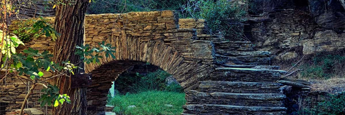
Old donkey trails that criss-cross Andros, are a great way to discover the secrets hidden away in the Andros countryside.
There are about 200 miles of these paths and getting on for half of them have been renovated and made suitable as well-signposted hiking trails. There are even “safe to drink” signs when spring water is drinkable.
Some of the paths can be hard going. The highest mountain on the island is more than 3,200 feet (1,000 metres) high and the walking can be rugged. But Andros, like Nancy Sinatra’s boots, is made for walking.
There are old watermills, gorges, rivers, streams and waterfalls, windmills, picturesque stone bridges, chapels and ancient sites to be discovered, all reasons why hiking in Andros has become so popular in recent years.
The Andros Route is a continuous 100-kilometre (93 mile) path that runs the length of the island. It won the European Ramblers’ Association award for the best quality trail in Europe in 2015. Day 2 of this route covers the beach of Batsi which we covered in our top beaches in Andros review.

Date published:


